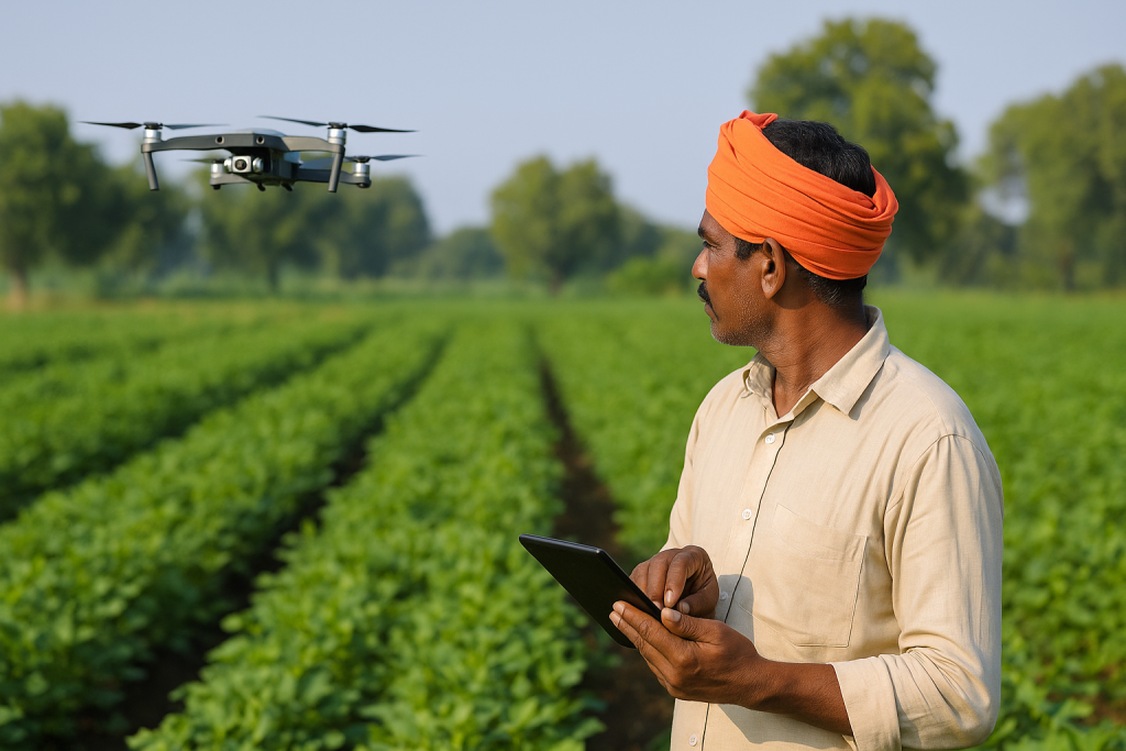
The face of agriculture is changing rapidly with the integration of advanced technologies. One of the most groundbreaking innovations in recent years is the use of satellite and drone technology in farming. These tools are enabling farmers to gather real-time data, optimize their operations, and make precise decisions like never before.
In the traditional farming setup, much of the decision-making relied on intuition, experience, and guesswork. But with drones and satellites, farmers can now “see” their fields in high resolution, identifying potential problems such as uneven crop growth, water stress, pest outbreaks, or disease, well before they become visible to the naked eye.
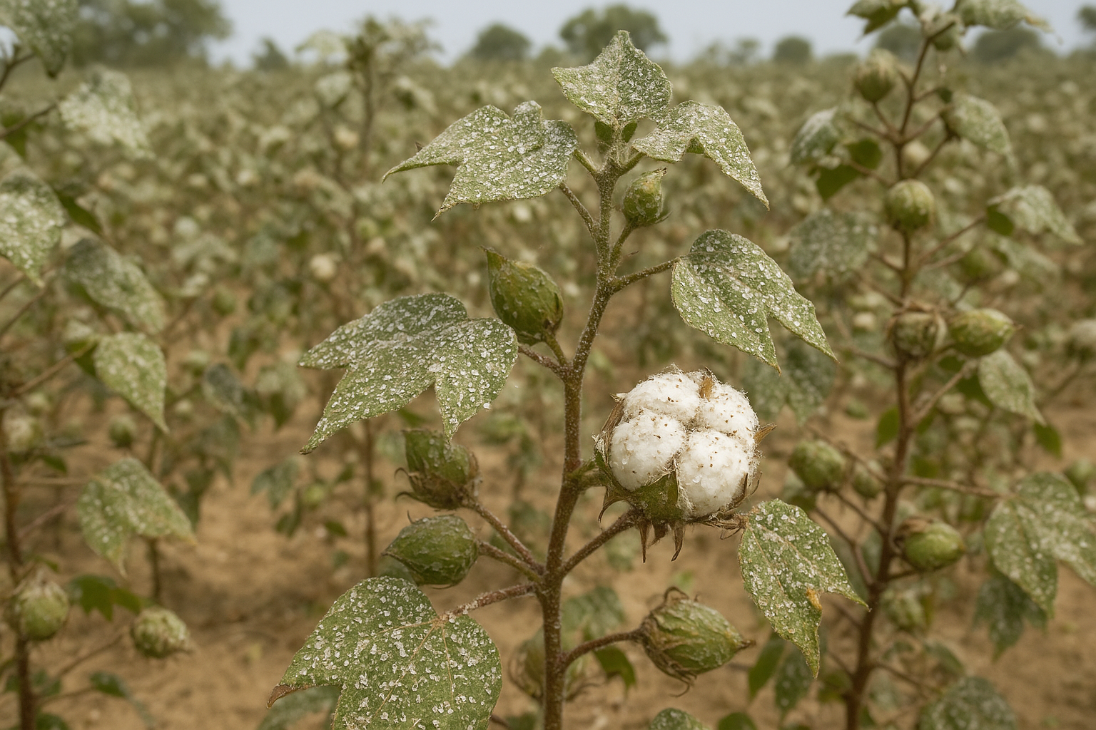
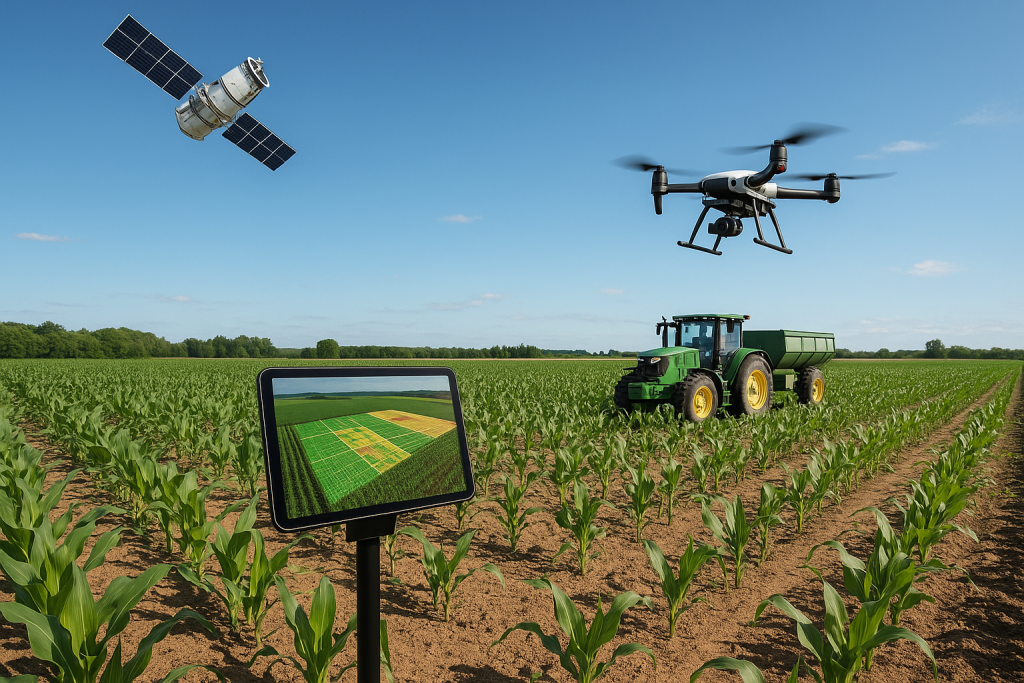
Satellites, with their broad coverage, offer invaluable insights on a macro scale. They can monitor vegetation health, soil moisture levels, temperature patterns, and weather conditions across large areas. Using data from satellites like Sentinel-2 or Landsat, farmers can access Normalized Difference Vegetation Index (NDVI) maps that reveal the health and growth stage of crops across different zones in the field.
On the other hand, drones provide ultra-high-resolution imagery, ideal for more localized and immediate tasks. A drone flight over a farm can produce detailed maps and visuals within hours, allowing farmers to take corrective measures—such as adjusting irrigation, applying fertilizers, or targeting pesticide use—on the same day. This level of real-time responsiveness is critical in modern agriculture, especially with climate unpredictability and pest pressure.
Moreover, drones can be used for crop spraying, particularly in hilly or fragmented terrains where tractors can’t operate efficiently. With precise targeting, drone spraying reduces chemical use and minimizes environmental harm. In India, where farm sizes are often small and scattered, drones offer a scalable solution for mechanization.
Government policies are also moving in favor of drone adoption. The Drone Rules 2021, coupled with the Kisan Drones initiative, are encouraging farmers and startups to invest in drone-based services. State governments are partnering with private firms and educational institutes to offer drone training, aiming to build a skilled rural workforce.\
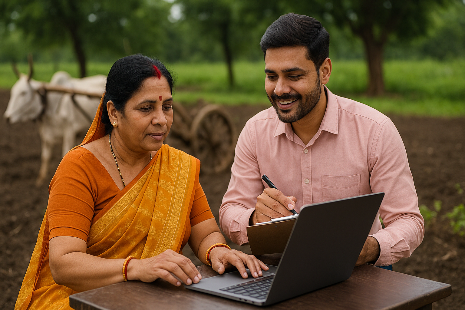
Indian startups like Garuda Aerospace, Fasal, and BharatRohan are pioneering cost-effective drone and satellite-based services. Their platforms not only provide image data but also offer actionable insights using artificial intelligence and machine learning. Farmers are receiving recommendations for irrigation scheduling, nutrient management, and harvest timing—directly on their mobile phones in local languages.
While cost and accessibility remain initial hurdles, the long-term benefits of drone and satellite tech in farming are undeniable. These technologies lead to better resource management, reduced input costs, improved yields, and ultimately, higher profitability.