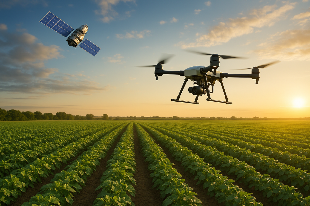
In the age of digital agriculture, technology is soaring to new heights—quite literally. Drone and satellite technology is rapidly transforming the way farmers monitor, manage, and optimize their land. From mapping large tracts of farmland to detecting crop stress, these aerial tools are offering a bird’s-eye view that’s both detailed and data-rich, leading to smarter and more sustainable farming.
One of the most valuable applications of this technology is precision agriculture. Drones equipped with high-resolution cameras and multispectral sensors can fly over fields and capture real-time imagery of crop health, plant density, and moisture levels. This data enables farmers to detect issues like pest infestations, nutrient deficiencies, or irrigation problems early—before they escalate into major losses.
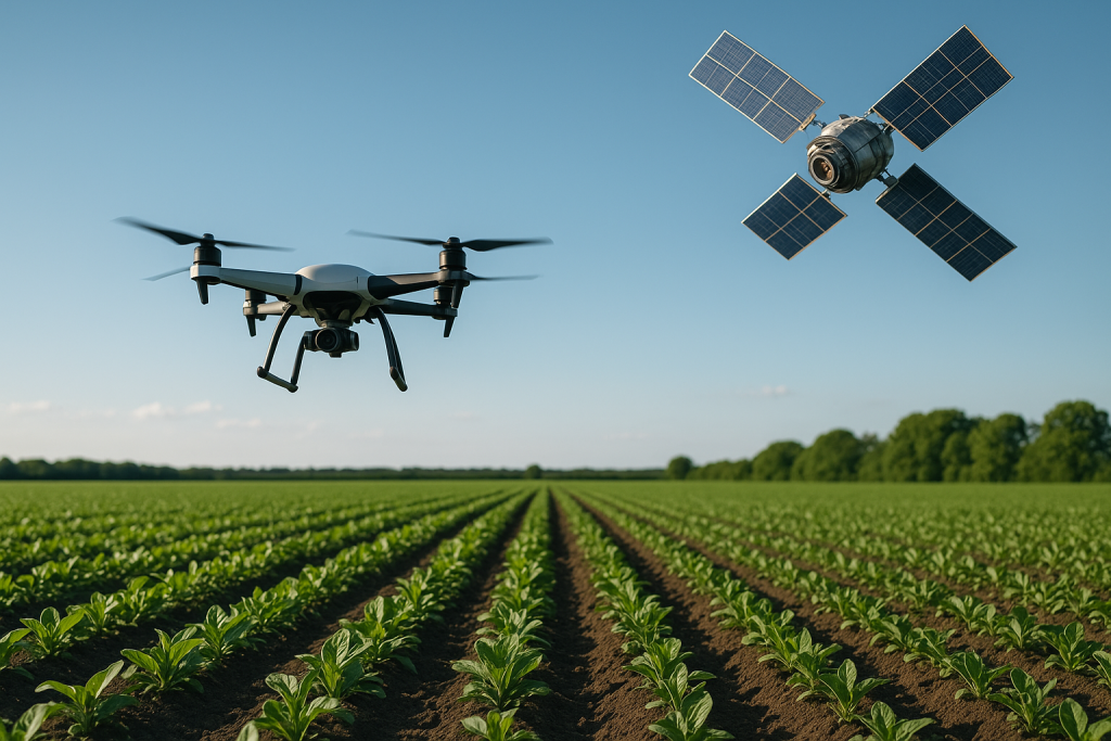
Meanwhile, satellite imagery offers a macro perspective, allowing farmers and agronomists to track long-term trends across seasons and years. Satellite data can monitor climate conditions, vegetation indices (NDVI), and even soil moisture. This helps in strategic planning—such as determining the best planting schedules, selecting crop types for specific regions, and managing water resources more efficiently.
Another game-changing feature is aerial mapping and surveying. Traditionally, surveying farmland was time-consuming and costly, especially for large or inaccessible plots. Drones can create accurate 2D maps and 3D terrain models in just a few hours. These maps are essential for planning irrigation systems, identifying slope gradients, and ensuring optimal drainage—critical factors in increasing yields.
Additionally, drone-based crop spraying is gaining popularity, especially in areas where manual spraying is hazardous or labor-intensive. These drones can spray pesticides or fertilizers with pinpoint accuracy, reducing chemical waste and exposure. With programmable flight paths and variable application rates, they offer both efficiency and environmental benefits.
In India, this technology is making strong inroads. The government has launched initiatives like the Digital Agriculture Mission 2021–2025, encouraging the use of drones in crop assessment, insurance surveys, and soil health monitoring. States like Telangana and Maharashtra are already running pilot projects using drones for agricultural tasks.
Startups such as Skymet, AgriVijay, and Garuda Aerospace are developing affordable drone solutions tailored to Indian farming needs. They’re offering services like field mapping, crop spraying, and insurance claim assessments, making these tools more accessible to smallholder farmers.
However, the adoption of drone and satellite tech does come with challenges. High initial costs, regulatory hurdles, and a lack of training among farmers can slow down implementation. But with the government subsidizing drone services under schemes like Sub-Mission on Agricultural Mechanization (SMAM) and increasing private sector participation, the barriers are gradually falling.
In conclusion, drones and satellites are not just futuristic concepts—they’re practical tools that are redefining modern farming. By delivering real-time insights, improving efficiency, and enabling data-driven decision-making, aerial technology is empowering farmers to farm smarter, conserve resources, and boost their income.